Las Vegas drone laws: where you can actually fly.
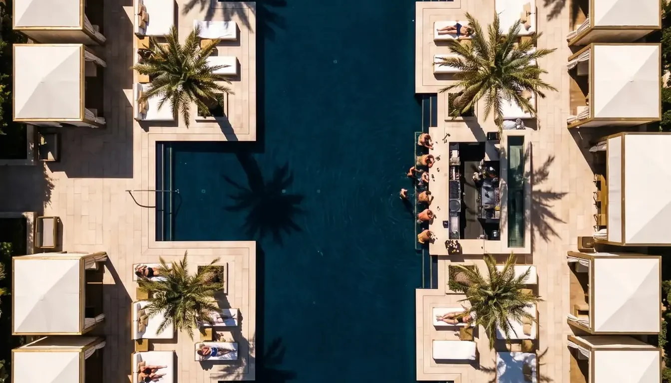
Las Vegas is one of the most restricted drone environments in the United States, and the part most people get wrong is the Strip itself. It is not a grey area or a matter of being discreet — it is airspace where automated authorization frequently cannot be issued at all. That does not mean aerial work in Las Vegas is impossible. We fly here commercially. It means the flight is planned, authorized and cleared with the property weeks before anyone opens a case. Here is what actually governs it, and where you can legitimately fly.
Plain-English summary, not legal advice. Airspace designations, facility-map ceilings and land-manager rules change. Verify current FAA and Nevada requirements before any flight, and consult a lawyer for anything consequential.
Why the Strip is effectively closed
Five separate things stack on top of each other here, and you have to clear all five:
- Harry Reid International sits right next to it. The Strip lies inside the airport's Class B airspace and within its five-mile ring. Class B is the most tightly controlled airspace category there is, and it exists precisely because the traffic density is extreme.
- Facility-map ceilings near the Strip are very low, and in places zero. The FAA publishes a grid of maximum approvable altitudes. A zero-foot cell means automated approval cannot be granted at all — the only path is a manual FAA DroneZone authorization, which takes days to weeks and is often declined.
- Helicopter tour traffic never stops. Low-altitude manned aircraft run over the corridor continuously. That is the actual safety reason the ceilings are what they are, and it is not going to change.
- You cannot fly over crowds. Part 107 restricts operation over people who are not participating in the operation. The Strip is, on any given evening, a very long crowd.
- Every resort has its own policy. The FAA governs the air; the property governs the ground. Casino security enforces drone policy actively, and they are good at it.
Anyone offering you Strip aerials on short notice is either not doing it legally or not doing it at all. The footage you have seen was either shot from a helicopter, licensed from stock, captured years ago under different rules, or authorized through a process that took weeks.
We are FAA Part 107 certificated and handle airspace authorization during pre-production, so the aerial plan is confirmed before the shoot date is locked. See the work →
The three rule sets that apply at once
- Federal — FAA Part 107. Commercial flight requires a Remote Pilot Certificate. Controlled airspace requires authorization before takeoff. General ceiling is 400 feet above ground, and near airports it drops sharply or to nothing. Recreational flyers need the free TRUST test and drone registration above 250 grams, and are bound by the same airspace limits.
- State — Nevada Revised Statutes Chapter 493. NRS 493.109 prohibits flight within 500 feet horizontally or 250 feet vertically of a critical facility without the owner's written consent. Nevada's definition of critical facility is broad: power plants and substations, pipelines, water and wastewater treatment, chemical facilities, mines, jails and prisons. NRS 493.103 gives property owners a civil trespass action against repeated flight below 250 feet over their land after they have told you to stop, with treble damages and attorney's fees available.
- Local and land-manager rules. Clark County and City of Las Vegas parks have their own restrictions. Red Rock Canyon National Conservation Area and Lake Mead National Recreation Area restrict or prohibit launching and landing on their land. National Park Service land is broadly closed to drone launch, land and operation.
The valley, zone by zone
Three airports throw controlled airspace across the Las Vegas valley — Harry Reid, North Las Vegas and Henderson Executive — which is why so little of the metro is unrestricted:
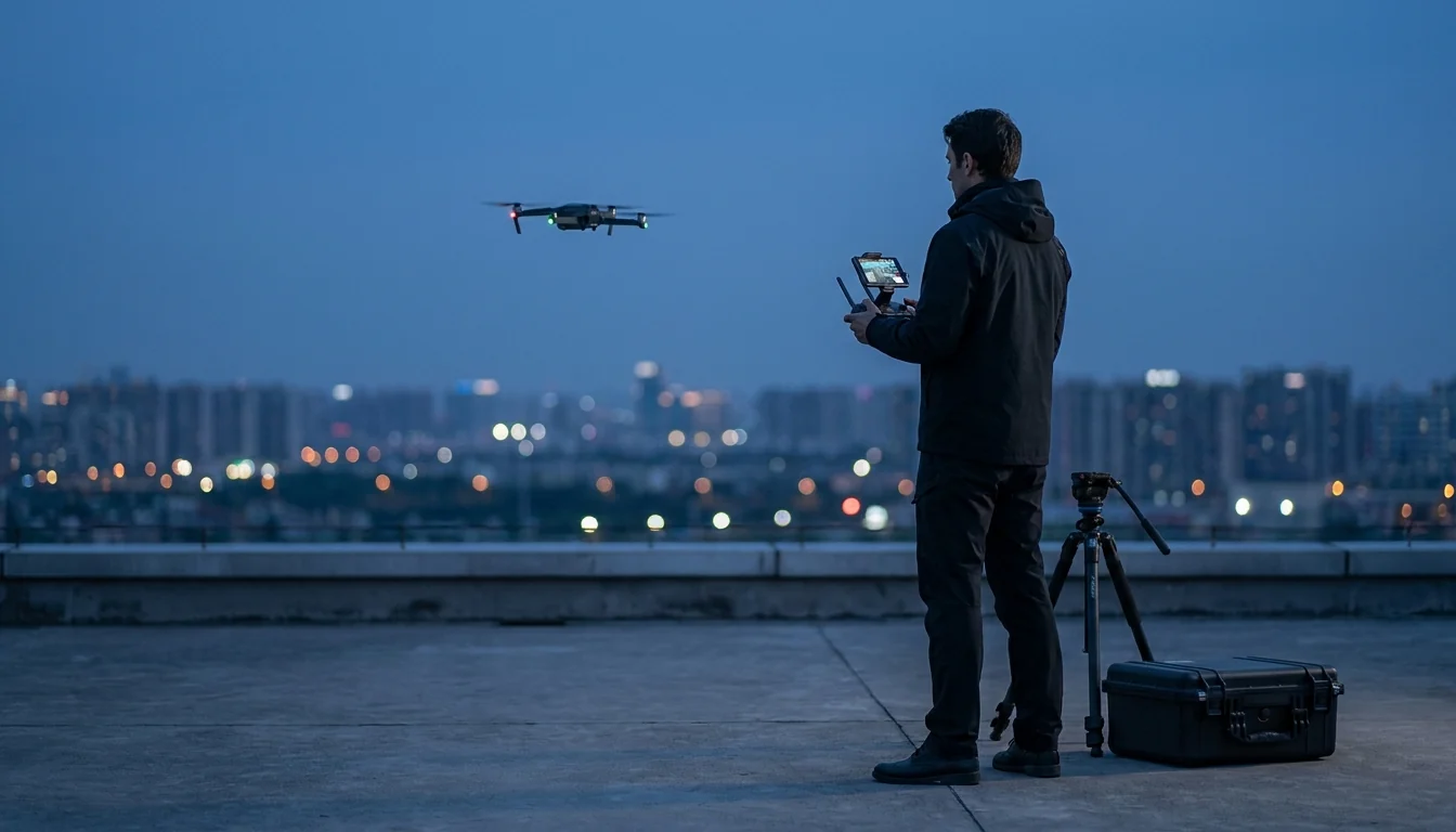
Authorization, a checked ceiling and property permission — all settled before the shoot date.
- The Strip and the resort corridor — treat as closed. Covered above. Do not plan around it.
- Downtown and Fremont Street — heavily restricted. Still inside controlled airspace, still crowded, with the added complication of a covered pedestrian mall.
- Around any of the three airports — restricted. North Las Vegas and Henderson Executive matter as much as Harry Reid for planning purposes.
- Summerlin, Henderson suburbs, and outer residential areas — usually workable. Authorization is often obtainable at a real ceiling. This is where most legitimate valley aerial work happens.
- Open desert beyond the valley — the freest option. Well clear of controlled airspace, few people, and enormous landscape. Check the land manager, because BLM, NPS and conservation-area rules differ sharply.
- Red Rock and Lake Mead — do not assume. Both are spectacular and both restrict drone use on their land. The view from outside the boundary is not the same as launching inside it.
How a legitimate Las Vegas aerial shoot actually runs
- Check the specific coordinates first, not the neighbourhood. Ceilings change grid square to grid square. The answer for one address tells you nothing about the address across the road.
- Start authorization early. Where automated approval is available it is quick. Where it isn't, a manual request can take weeks — so it is a pre-production task, not a shoot-week one.
- Get property permission in writing. Separate from the FAA, and non-negotiable on resort, campus or industrial land.
- Carry insurance and the certificate. Most commercial properties require a certificate of insurance naming them additional insured before a crew sets foot on site.
- Fly early. Fewer people in frame, calmer wind, and better light. Sunrise solves three problems at once.
- Have a ground plan. When authorization is refused, a rooftop, a high floor, a jib or a gimbal move delivers most of the establishing value. A crew with only one answer turns your opening shot into a coin flip.
Questions worth asking any drone operator here
- "Can I see your Part 107 certificate?" A real operator sends it immediately.
- "What's the ceiling at my address?" The right answer is a number, or a promise to check today. "We'll be fine" is not an answer in this city.
- "Have you got authorization, or are you planning to just go?" Worth asking plainly. An unauthorized flight over your property is your liability exposure too.
- "What's your insurance?" Ask for the certificate, not a reassurance.
- "What happens if authorization is denied?" If there is no plan B, budget for not getting aerials.
Need aerials in Las Vegas?
Send the address and we'll check the airspace before quoting. 20-minute call, quote within 48 hours.
Book a CallMore Las Vegas guides
- Drone filming in Las Vegas: the production guide
- Dallas drone videographer: what is actually legal
- Las Vegas photographer & videographer
- Best Las Vegas venues for video
- Las Vegas corporate video
- Las Vegas convention videographer
- Las Vegas event photographer
- Las Vegas hotel & resort photography
- What a Las Vegas videographer costs
- What to expect on a Las Vegas video shoot
Airspace and legal information on this page is a general summary for planning purposes, not legal advice. FAA facility-map ceilings, airspace designations and land-manager rules change — always verify current requirements before a flight.